People and water users
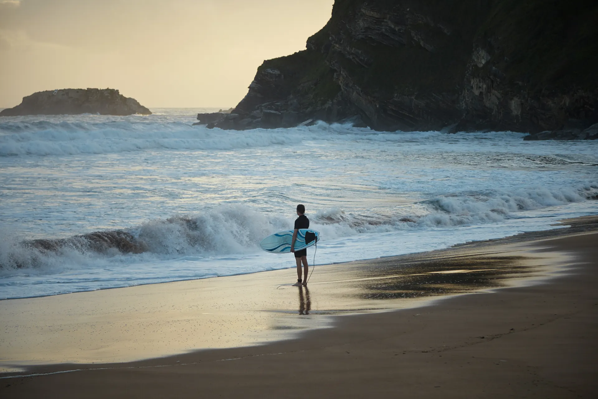
Detect and track people on land and in water, including swimmers, waders and flotation users. Counts, movement tracks and monitored zones show activity within the camera view.
Connect your sensor feeds. Follow people, vessels and activity, with the source records operators need to check what is happening.
Contact
ResQVision is AI software for observing people, vessels and activity across coastal, maritime and Search and Rescue operations. It connects sensor observations with movement history, conditions and the source records your operators can check.
Log in to one operational view, with cameras, assets and monitored zones together. Select the modules relevant to your operation, such as people detection or rip-current analysis. Open an observation to review its context and the source detail when you need it.
Connect the sensor feeds relevant to the operating task.
What was observed, where and when, its movement and the surrounding conditions.
Source footage, tracks, vessel reports and sensor readings for operator review.
A closer look at the operator’s workflow.
Find your cameras and assets on the map. Open a camera view and choose the connected data layers relevant to the task.
Assess your use caseCheck what was detected, its movement and the model’s confidence. Review the source footage and available sensor records to understand what the observation means.
Assess your use case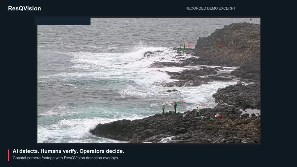
Use the evidence to decide what needs attention. Review incidents by urgency, then follow your organisation’s response procedures.
Assess your use caseWhat needs
attention?
Does the footage support what was detected?
Where is it, how is it moving and what else is known?
What does your team’s procedure require?
Illustrative workflow with recorded footage and example context. Inputs, modules and response arrangements are configured for each deployment.
Detect and track people on land and in water, including swimmers, waders and flotation users. Counts, movement tracks and monitored zones show activity within the camera view.

Identify vessels, boats and small craft, follow their movement and count activity in defined areas. Review a track alongside the footage and available vessel reports.

Flag unexpected water entry and falls from monitored rock platforms and bring the event to an operator for review. Person-overboard scenarios are configured and assessed for the project.
Analyse visible surface movement for rip currents, longshore currents and water-flow patterns. Review the direction of flow and how it changes over time on suitable footage.
Set monitored zones and time limits to flag activity your team wants to review. For example, a vessel stays in an area longer than the limit you set. The operator checks its movement, footage and available vessel information before deciding whether it needs attention.
We develop and fine-tune our own models using proprietary ocean data. The work starts with the coastal and maritime scenes operators need to understand, then adapts the model to the object, behaviour or environment being monitored.
AI research, field data collection and operator feedback inform model development. Our engineering team brings those models into the operating platform and connects outputs to customer systems.
Our custom model work includes development for Arkeus supporting naval trials. Custom development and integrations have a separate delivery scope and acceptance criteria.
Defence and government · Aerial intelligence · Integration partners.
More sensor data should give the operator a clearer picture. ResQVision brings the relevant observation, movement and conditions together for review, with access to the underlying records when detail matters.
Context explains what was seen or reported, where and when, how it moved and what was happening around it.
The person, vessel, asset or activity observed. An identity reported by a source is distinct from an object detected in footage.
The position or monitored area, timestamp and source. A GPS position is different from a location inferred from a camera view.
The available track, direction, changes over time and time spent in a monitored area.
Weather and surrounding activity, including gaps from missing, delayed or incomplete feeds.
Your operator checks these records together and decides what the observation means.
The source records support the observation: camera frames or clips, radar tracks, AIS vessel reports, weather readings and timestamped wearable, asset-tracking or GPS records. What is available depends on the feeds connected for the task.
Illustrative maritime workflow
Illustrative workflow. Inputs and interfaces are configured for the operation.
For a wearable or tracked asset, an operator can review the device’s timestamped position history instead. The reported location and movement remain attributable to that device.
See what ResQVision delivered in the SAIL coastal monitoring case, or tell us about your operation.